
- Chennai
- Tamil Nadu
- India
- World
- EntertainmentEntertainment
- Business
- Sports
- Lifestyle
- Technology
- Videos
- Explainers

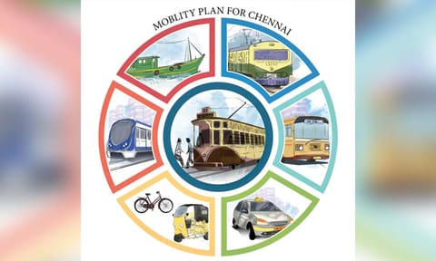
CHENNAI: Modelled on Singapore’s Park Connector Network, the Comprehensive Mobility Plan (CMP) for the Chennai Metropolitan Area outlines a plan to reshape Chennai’s mobility landscape by creating blue-green corridors along the Adyar, Cooum, and Buckingham Canal, transforming these waterway edges into uninterrupted pedestrian and cycling routes.
These corridors, planners say, will form the backbone of a wider Non-Motorised Transport (NMT) network that prioritises walking and cycling as safe, convenient and integral parts of daily travel. The CMP places NMT at the heart of the city’s long-term mobility vision up to 2048.
To create safe streets, improve accessibility and strengthen last-mile connectivity, the CMP outlines an extensive expansion of footpaths, cycling lanes and NMT corridors across the metropolitan region. A cluster-based planning approach was used to identify priority locations for immediate improvements.
These NMT clusters were developed by analysing pedestrian accident hotspots, dense school zones, high-footfall bus stops, neighbourhoods with multiple public facilities and flood-prone stretches where infrastructure failures are common. A total of 137 such clusters were identified for early upgrades, representing high-demand pedestrian and cycling zones that require immediate attention.
Footpath expansion forms the largest component of the NMT plan. The CMP proposes 972 km of footpaths within the prioritised clusters, combining new construction and improvements to existing networks. An additional 2,395 km of pedestrian pathways have been identified for development across the metropolitan area, marking a significant expansion of walkable infrastructure.
The long-term target is to ensure connected, encroachment-free footpaths on all arterial and sub-arterial roads by 2048, with a minimum width of two metres and universal design to support all user groups.
Cycling, which has seen a steep decline in usage in Chennai over the decades, is another key focus. From a mode share of 20% in 1970, cycling now accounts for less than 4% of trips. To revive it, the CMP recommends creating a connected cycling network on roads with a minimum right-of-way of 12 metres, ensuring dedicated and safe lanes that reduce conflict with motorised traffic. Loop networks within cycling clusters will provide seamless connectivity without dead ends, while locations around schools and educational institutions are prioritised to encourage students to adopt cycling for daily commutes.
The CMP’s proposal for blue-green corridors is another transformative step. By creating continuous pedestrian and cycling pathways along waterways, Chennai aims to replicate the success of Singapore’s Park Connector Network, helping residents access parks, transit stations and neighbourhoods through cleaner, greener and safer routes. These corridors are expected to become major recreational and mobility assets, supporting both peak-hour travel and leisure use.
To standardise NMT development, all road-owning agencies will adopt the Comprehensive Street Design Guidelines once they are finalised. These guidelines include uniform cross-sections, tree cover requirements, utility integration and signage norms to ensure consistency in NMT infrastructure across the city.
The CMP also underscores the need to integrate utilities carefully to prevent repeated road cuts that disrupt pedestrian paths.
Pedestrian safety is a core element of the plan. While at-grade crossings are recommended wherever feasible, the CMP proposes 14 new grade separators at locations with heavy traffic and high pedestrian volumes. Around 20 existing structures will be upgraded and 15 railway foot-over-bridges extended to improve seamless movement across major corridors.
Officials say the strong focus on NMT is intended not only to reduce dependence on private vehicles but also to improve road safety, lower emissions and make public transport more accessible.
By expanding walkable and cycling infrastructure and linking it with bus, Metro and suburban rail networks, the CMP presents a long-term blueprint for a more inclusive, resilient and environmentally responsive Chennai.
Key features of the NMT plan
· Continuous walking, cycling routes along Adyar, Cooum and Buckingham Canal
· Links neighbourhoods, parks, major transit nodes
· 972 km of footpaths in priority NMT clusters
· 2,395 km of additional footpaths outside clusters
· Minimum 2-metre width with universal, barrier-free design
· Dedicated cycling lanes on roads with ROW above 12 metres
· Loop networks within cycling clusters for uninterrupted movement
· Priority near schools, educational institutions
· 14 new pedestrian grade separators
· Upgradation of 20 existing structures
· Extension of 15 railway FoBs
· Integration of utilities to prevent footpath damage
· Around 75% of transit stops by 2048