
- Chennai
- Tamil Nadu
- India
- World
- EntertainmentEntertainment
- Business
- Sports
- Lifestyle
- Technology
- Videos
- Explainers

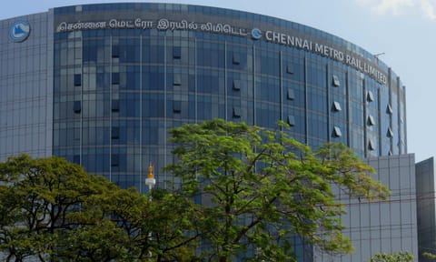
CHENNAI: The Chennai Metro Rail Limited (CMRL) has mapped out property development at 12 locations along Corridors 4 of Phase II, running from Poonamallee Bypass to Light House, covering more than 90,000 sq ft of land. The tender outlines plans for a mix of integrated and stand-alone entry and exit blocks, commercial structures, a multi-level parking facility and a major place-making initiative at the Corridor 4-Corridor 5 demerging zone.
A detailed design consultant will prepare architectural, structural, MEP and landscaping plans for all the sites positioned across the western, central and southern stretches of the corridor.
According to the document, the Boat Club stand-alone site measures 763 sq m, while the integrated development at Kutchery Road spans 2,018 sq m. The C4-C5 location is the largest, covering 5,010 sq m and reserved entirely for place-making and public-realm improvements. Further along the corridor, Nandanam has an integrated site of 988 sq m, Boat Club ES 01 (entrance substructure) occupies 763 sq m, Boat Club ES (02) 708 sq m, Bharathidasan Road ES (02) 636 sq m and Alwarpet ES (02) 1,565 sq m. A stand-alone plot at Bharathidasan Road measures 438 sq m.
On the western side of Corridor 4, a stand-alone development is proposed on 1,338 sq m at Kattupakkam and 1,190 sq m at Iyappanthangal. At Alappakkam, a 2,348 sq m parcel will accommodate a multi-level car parking structure linked to the station with a foot overbridge.
Across locations, the structures will rise to stilt plus three floors or ground plus three floors, with the Boat Club stand-alone block additionally featuring a basement.
At Alappakkam, which is a double-decker corridor of 4 and 5 (Madhavaram to Shollinganallur) that runs parallelly between Alwarthirunagar and Porur stations, the consultant will design both the MLCP and all associated circulation and access elements. At the C4-C5 junction, the emphasis is on creating a landscaped pedestrian-friendly public space instead of developing commercial structures.
The consultant must prepare tender drawings, construction-ready plans, design basis reports, land-use strategies, 3D walk-throughs and integration plans with nearby transport systems. Designs must incorporate flood-mitigation features, universal accessibility and provisions for petty shops where feasible.
Landscape design across the sites will focus on native tree species, biodiversity pockets and shaded pedestrian movement, and all developments are expected to target IGBC Platinum-level green certification.