
- Chennai
- Election-2026Election-2026
- Tamil Nadu
- National
- World
- Cinema
- Business
- Sports
- Lifestyle
- Technology
- Videos
- Explainers
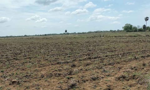
CHENNAI: Tamil Nadu is building a digital base for how it plans and manages its land. A new report from the Tamil Nadu State Land Use Research Board (TNSLURB) shows that what began as a research wing 15 years ago has grown into a system using satellite maps and data analysis to guide government decisions ranging from city planning and agriculture to flood and heat management.
The report 'Land Use Research in Tamil Nadu: 15 Years of TNSLURB' marks the board's anniversary under the State Planning Commission and documents over 80 research projects carried out with universities and technical institutions since 2011. It traces how TN's planning has moved from survey-based assessments to shared spatial databases, allowing departments to see the same landscape in the same way.
At the core of this shift is the Tamil Nadu Land Use Information System (TNLUIS), a GIS-based tool that brings together layers of data on land, water, climate and development. Announced in the Assembly in July 2024 and now under phased rollout, the system compiles satellite and ground data from nine sectors, including agriculture, forests, water resources, urban areas, coastal regions, energy and infrastructure, climate change and disaster management.
Unlike conventional planning maps, the system allows multiple departments to log in, overlay datasets and identify where growth and environmental stress overlap, for instance.
According to the State Planning Commission's 2022–23 policy note, the TNSLURB has funded 73 studies at a cost of Rs 7.86 crore and held 15 workshops for Rs 83 lakh, training more than 1,200 officials in GIS and land-use modelling.
One of the most direct policy outcomes came from studies on heat exposure, which formed the basis of the Tamil Nadu Heat Mitigation Strategy. The state government subsequently declared heatwaves a state-specific disaster in 2024, a first in India. Work on wetland management has also expanded, with over 80 wetlands mapped and prioritised for their ecological and livelihood importance.
Pilot projects such as floating wetlands in Coimbatore and a biodiversity study at Vaduvoor Bird Sanctuary are cited as replicable models for restoration.
In its next phase, planned for 2025–26, the plan will extend this tool to all districts and urban local bodies, helping them prepare development plans or vulnerability maps using common data. Integration with the Tamil Nadu e-Governance Agency (TNeGA) and the Disaster Management Authority is also in progress.