
- Chennai
- Tamil Nadu
- India
- World
- EntertainmentEntertainment
- Business
- Sports
- Lifestyle
- Technology
- Videos
- Explainers
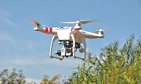
CHENNAI: The State government will soon undertake a digital land survey using hybrid technology such as drones and differential global positioning systems, roping in technical institutions. As per the task assigned to the TN Department of Survey and Settlement, drones fitted with high-resolution cameras will map villages and fix/locate boundaries, wells, ponds, canals, rivers and roads.
A senior official from the department said the Differential Global Positioning System (DGPS) is the latest technology used in land surveying drones. It is the advanced version of the Global Positioning System (GPS). The drones with the DGPS expand the accuracy of any measurement area even if it is by a few centimetres. “Even millimetres will be corrected,” he said.
Stating that drones drastically reduce compliance costs, enable real-time monitoring, provide high-quality data, and help monitor big areas in a short time, he said: “They (drones) could effectively perform work for 3D mapping, land surveys, photogrammetry, and topographic surveying with increased efficiency by flying through aerial route”.
Pointing out that the drone images will be used to update decades-old land records, check encroachments and resolve disputes, the official said the high-resolution images will also be used to update boundaries, illegal constructions and encroachments of forests and public lands at any point in time and validated with existing land records and verified with village councils in rural areas before being updated digitally.
He said drone data provides the most valuable insights in terms of evaluation, planning, site operations and maintenance, reduces ground truthing, in different topographic situations and generates high-resolution images.
Quoting the current computerization of village land records in Tamil Nadu, the official said as many as 16,810 villages have been covered. “The present land records will be updated after taking up digital surveys through drones with DGPS,” he said.
The official said after purchasing the drones, the department also proposes to impart training to its field and technical staff in conducting aerial surveys and preparing cadastral maps as per the Digital India Land Records Modernization Programme (DILRMP) guidelines.
