- Chennai
- Election-2026Election-2026
- Tamil Nadu
- National
- World
- Cinema
- Business
- Sports
- Lifestyle
- Technology
- Videos
- Explainers

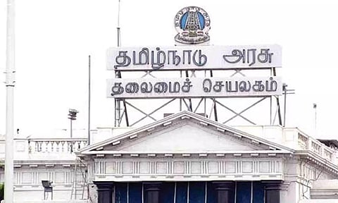
CHENNAI: Tamil Nadu government on Saturday sounded an high alert for the Coastal districts of Tamil Na and instructed the government machinery to be on high alert, when the cyclone Michaung makes a landfall.
Michaung is the first cyclone that has come closer to the TN coast compared to the other two systems that formed in Bay of Bengal during the ongoing Northeast Monsoon this year.
The cyclone is likely to cross between Nellore and Machilipatnam with a speed of 100 kmph on Tuesday.
District collectors of Tiruvallur, Chennai, Kancheepuram and Chengalpet declared educational institutions be closed till Monday.
Anna University and Madras University also cancelled the exams that were scheduled on Monday.
Due to cyclone Michaung warning, South Central railway cancelled as many 118 trains operating from arterial Chennai Central railway station connecting various cities across India.
With the cyclone expected to make a landmark across the TN-AP coast, most of the trains from Chennai connecting Coimbatore, Sabarimala, Hyderabad, Secunderabad, Bangalore, Nellore and Vijayawada were cancelled and a few rescheduled.
The government departments including TNEB and local administrations urged the public to stay indoors during the time of cyclone to ensure no untoward incidents endangering public lives.
The Regional Meteorological Centre (RMC) on Saturday stated that the cyclonic storm over Bay of Bengal is around 400 km away from Chennai. So, very heavy rainfall and wind warning has been issued to the coastal districts including Chennai on December 4.
The deep depression over southwest Bay of Bengal moved west-northwestwards on Saturday over the same region. It is likely to move north westwards and intensify into a cyclonic storm over southwest Bay of Bengal on Sunday. Thereafter, it would move northwestwards and reach west central Bay of Bengal off south Andhra Pradesh and adjoining north Tamil Nadu coast by Monday morning.
Later, the cyclonic storm Michaung would move nearly northwards almost parallel and close to south Andhra Pradesh coast and cross south Andhra Pradesh coast between Nellore and Machilipatnam during forenoon of December 5, as a cyclonic storm with a maximum sustained wind speed of 80 kmph to 90 kmph gusting to 100 kmph.
Dr S Balachandran, Deputy Director-General of Meteorology, RMC told reporters, "The cyclonic storm Michaung is likely to trigger intense rainfall over coastal and delta districts of Tamil Nadu for the next three days. For the next 24 hours, heavy to very rainfall is likely to occur in the coastal areas from Tiruvallur to Cuddalore. Other districts such as Vellore, Thiruvannamalai, Ariyalur and delta districts expected to receive heavy rain."
On Monday, an orange alert issued to Chennai, Tiruvallur, Ranipet, Vellore, Tirupathur and Chengalpattu districts of Tamil Nadu predicting very heavy rainfall. The weather office also urged the TN fishermen not to venture into the sea.
Meanwhile, the Greater Chennai Corporation urged the builders to suspend the construction activities at the site owing to cyclone Michaung. The builders are instructed to ensure materials like centering sheets, tin sheets, wooden panes, door, windows and tower cranes are brought to the ground level, bunched and fastened so that they don't fly.