
- Chennai
- Tamil Nadu
- India
- World
- EntertainmentEntertainment
- Business
- Sports
- Lifestyle
- Technology
- Videos
- Explainers

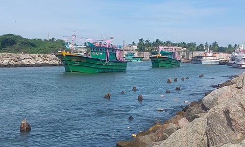
CHENNAI: Tamil Nadu’s delta districts, led by Nagapattinam, are among the most climate-exposed coastal regions in India, with rising sea levels, recurrent cyclones and coastal erosion placing millions of people at growing risk, according to a new scientific study that mapped hazard exposure across the country’s eastern shoreline.
The study, published in Scientific Reports by researchers from the Indian National Centre for Ocean Information Services, has identified vast stretches of the Tamil Nadu coast as highly vulnerable to ocean-driven hazards, including storm surges, extreme water levels, shoreline retreat and long-term inundation linked to climate change.
Using satellite imagery, airborne terrain mapping, sea-level observations and village-level geospatial analysis, the researchers assessed exposure across the east coast, from Tamil Nadu to West Bengal. The findings place Nagapattinam, Thiruvarur and Thanjavur among the districts facing the highest degree of coastal exposure in the country.
The report estimated that 1,110 villages and towns in the State fall within the identified coastal multi-hazard zone, with an exposed population of nearly 11.75 million people. Of them, around 2.76 million live in villages, while close to nine million reside in urban centres and towns along the coast.
Researchers found that Nagapattinam recorded the highest exposure levels in the State owing to its low-lying coastal plains and dense settlement patterns. Thiruvarur, Mayiladuthurai and Thoothukudi also showed high concentrations of villages under the “very high” and “high” exposure categories.
“In terms of percentage of population exposed, Nagapattinam district is very highly exposed followed by Thiruvarur and Thanjavur,” the study noted while explaining the vulnerability profile of Tamil Nadu’s coast.
The assessment further observed that Chennai, despite having one of the largest exposed populations along the east coast, fell under the “moderate exposure” category because of elevated terrain in several urban pockets.
The study developed a village-level ‘Exposure Index’ by combining elevation data, projections of increasing sea-level, historical extreme water levels and shoreline change rates over a 100-year period. Areas below one-metre elevation were classified under the highest-exposure category because of their susceptibility to repeated inundation during cyclones and storm surges.
The researchers recommended stronger coastal regulation, restoration of mangroves and wetlands, expansion of early warning systems and restrictions on new construction in highly exposed coastal stretches.