
- Chennai
- Tamil Nadu
- India
- World
- EntertainmentEntertainment
- Business
- Sports
- Lifestyle
- Technology
- Videos
- Explainers

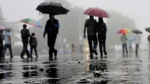
CHENNAI: A low-pressure area is likely to form over the southwest Bay of Bengal off the Sri Lanka coast on January 10, which could bring widespread rainfall to several coastal and interior districts of Tamil Nadu on January 10, 11 and 12, weather blogger Hemachander R, who runs the Delta Weather Man social media handle, said.
Meanwhile, rains have been reported in parts of Tamil Nadu, including districts along the Western Ghats, over the past two days, with the possibility of more rain in the above-mentioned areas on Saturday (January 3) as well, Hemachander said, as quoted in a Daily Thanthi report.
After this, rainfall activity across the State is expected to reduce until January 9, with relatively warmer conditions during the day and cooler temperatures at night. The weather blogger added that farmers can make use of this period to carry out agricultural activities.
Meanwhile, the Regional Meteorological Centre (RMC), Chennai, on Saturday said a fresh upper air cyclonic circulation is prevailing over the southeast Bay of Bengal and the adjoining southwest Bay of Bengal and equatorial Indian Ocean, extending up to 5.8 km above mean sea level.
Under its influence, light to moderate rain is likely to occur at isolated places across Tamil Nadu and over Puducherry and Karaikal between January 3 and 9.
The weather department also said the earlier upper air cyclonic circulation over the southwest Bay of Bengal off the Sri Lanka coast and the associated trough extending towards interior Tamil Nadu have weakened and become less marked.
The RMC further forecast a gradual fall in minimum temperatures by 2-4°C at a few places over Tamil Nadu, Puducherry and Karaikal from January 3 to 7, accompanied by mist or haze during the early morning hours.