
- Chennai
- Tamil Nadu
- India
- World
- EntertainmentEntertainment
- Business
- Sports
- Lifestyle
- Technology
- Videos
- Explainers

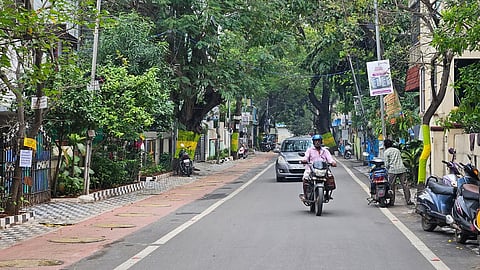
CHENNAI: The GCC has proposed a Digital Twin pilot project for a central part of the city, covering around 5 sq km including Nungambakkam, College road, Greams road and Anna Salai, as part of a move towards data-based urban planning
The Digital Twin, a virtual model of a real city area, will be implemented with an Urban Data Observatory and an infrastructure asset management system, both yet to be rolled out.
The platform will combine data from the Integrated Command and Control Centre (ICCC), city sensors and GIS mapping, use 3D and 4D simulation along with AI for planning and analysis. As part of this, surveillance cameras will be installed at 100 storm water drain points across the city at an estimated cost of Rs 2 crore to strengthen flood monitoring.
GIS Cell will undertake a LiDAR survey covering around 1,000 km of bus route roads and key interior roads at an estimated cost of Rs 5 crore. The survey aims to generate high-resolution road data, create digital maps and support traffic planning and maintenance works. As part of the pilot phase, initial LiDAR mapping will be carried out on Khader Nawaz Khan Road.
The combined systems will be used to study flood risk, traffic congestion and emergency situations, helping departments plan and coordinate response using consolidated data.