Chennai
The micromanaging database work had begun with a pilot study of special area development project (SADP) in Ambasamudram block of Tirunelveli district. “Tamil Nadu State Development Policy Council has started its work on developing a first of kind data mapping app that will fetch details of geographical and ecological parameters of an area. For example, the app will give basic details of a taluk like rainfall received, crop area under cultivation, employment details, agricultural produce available, wildlife conflicts, land usage pattern, demarcation of land records,” said Archana Kalyani, head – land reforms department, State Planning Commission. Under environmental assessment, wildlife and human conflict details can be captured along with data on forest fire, rainfall, runoff areas, flood-prone localities and the land use pattern.
This will also help the State government and the policymakers to minimise the overlapping of expenditures and effectively implement public welfare schemes. The major advantage is that the government bodies can prevent pilferage in government schemes and integrating the projects will become easy.
For better planning, it is important to understand the gaps between the resource’s requirements and availability of resources. This tool will help the officials to understand the topography. “This mobile application can capture existing infrastructure facilities in the habitations such as schools, hospitals, drainage lines, roads, electricity, mobile network, banks with ATMs and other structural assets of the government,” said Nanda Kishore, managing partner, Infomaps.
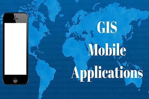
The mobile application named Assess Implement Monitor (AIM) will help the State officials avoid delays in documentation processes like data entry, file transfer and get the real-time perspective with photos tagged with geo-coordinates. The spatial data collected from the field will then be fed into a GIS platform, specially designed with multiple layers for thematic analysis.
For instance, a newly transferred collector, tahsildar or a municipal official can easily assess the data related to his jurisdiction like the economic situation of the public, their crops, markets, storage facilities, irrigation facilities, animal husbandry, fisheries along with agro-based commercial activities. “Other economic activities such as major industries, cottage industry, mining, tourism, forest produce, medicinal plants under commercial production and potential available have been included in the app,” Nanda Kishore said.
Visit news.dtnext.in to explore our interactive epaper!
Download the DT Next app for more exciting features!
Click here for iOS
Click here for Android