New Delhi
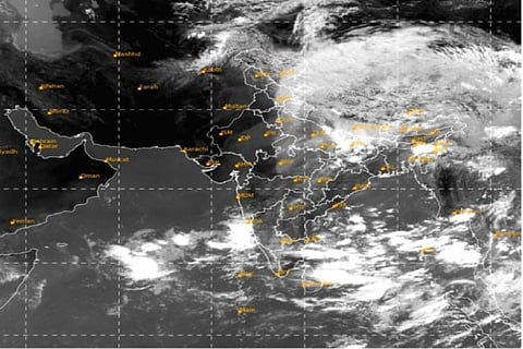
The Well-marked low-pressure area over east Rajasthan and adjoining west Madhya Pradesh has further weakened into a low-pressure area and lay centered at northwest Madhya Pradesh and neighbourhood at 5.30 a.m. on Thursday, said the National Weather Forecasting Centre of the India Meteorological Department (IMD).
It is very likely to move northeastwards and weaken gradually during next 12 hours.
Southwest Monsoon is likely to advance into South Andaman Sea and adjoining Southeast Bay of Bengal around Friday.
The Western Disturbance as a cyclonic circulation over Jammu and Kashmir and neighbourhood between 3.1 and 3.6 km above mean sea level with a trough aloft with its axis at 5.8 km above mean sea level now runs roughly along longitude 71 degree east to the north of latitude 27 degree north.
The cyclonic circulation over central Assam at 0.9 km above mean sea level persists.
The cyclonic circulation over Southeast Bay of Bengal and neighbourhood between 3.1 km and 5.8 km above mean sea level also persists.
A low-pressure area is likely to form over north Andaman Sea and adjoining east central Bay of Bengal around Saturday, said the IMD.
Visit news.dtnext.in to explore our interactive epaper!
Download the DT Next app for more exciting features!
Click here for iOS
Click here for Android