Chennai
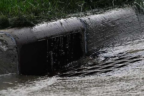
“Under the project, the boundaries of the waterbodies will be mapped so that encroachments can be prevented.
The mapping will be conducted after conducting a survey of the storm water drains and waterbodies physically,” said a Corporation official.
The civic body has floated tenders to conduct the GIS survey and create a geospatial map. The first GIS study of the city was conducted a few years ago to identify the buildings that are under-assessed for property tax. Since then, the civic body had commenced mapping public utilities, including offices of the Chennai Corporation, parks, public toilets and others. It has also mapped newly planted avenue trees.
“The mapping of storm water drain network will provide an understanding of the facility and we can identify the future requirement,” the official added. Presently, the Corporation maintains more than 2,000 km of storm water drain network and 210 water bodies, including temple ponds.
Discussions are also under way to identify the vacant plots and buildings owned by the civic body to prevent encroachments.
Visit news.dtnext.in to explore our interactive epaper!
Download the DT Next app for more exciting features!
Click here for iOS
Click here for Android